North Fork Umatilla Trail #3083
This trail is entirely within the North Fork Umatilla River Wilderness. The lower trail follows the river for about 5.0 miles. There are two campsites. The first at about 3.5 miles (just before where the trail crosses Coyote Creek) is often called the "Boy Scout Camp." The second is at the point where the trail climbs up to Coyote Ridge. The upper section, or "Coyote Ridge" trail, traverses the steep slopes. As a south facing slope, it is a mix of open grass versus brush filled spring fed sections. The trail does provide spectacular views of the surrounding Blues.
For more detailed information about the trail and driving directions to either end of the trail visit OutsideWallaWalla
FLORA & FAUNA
The lower trail has a mix of fir and pine trees, many old growth.
NEED TO KNOW
Restroom available at lower trailhead.
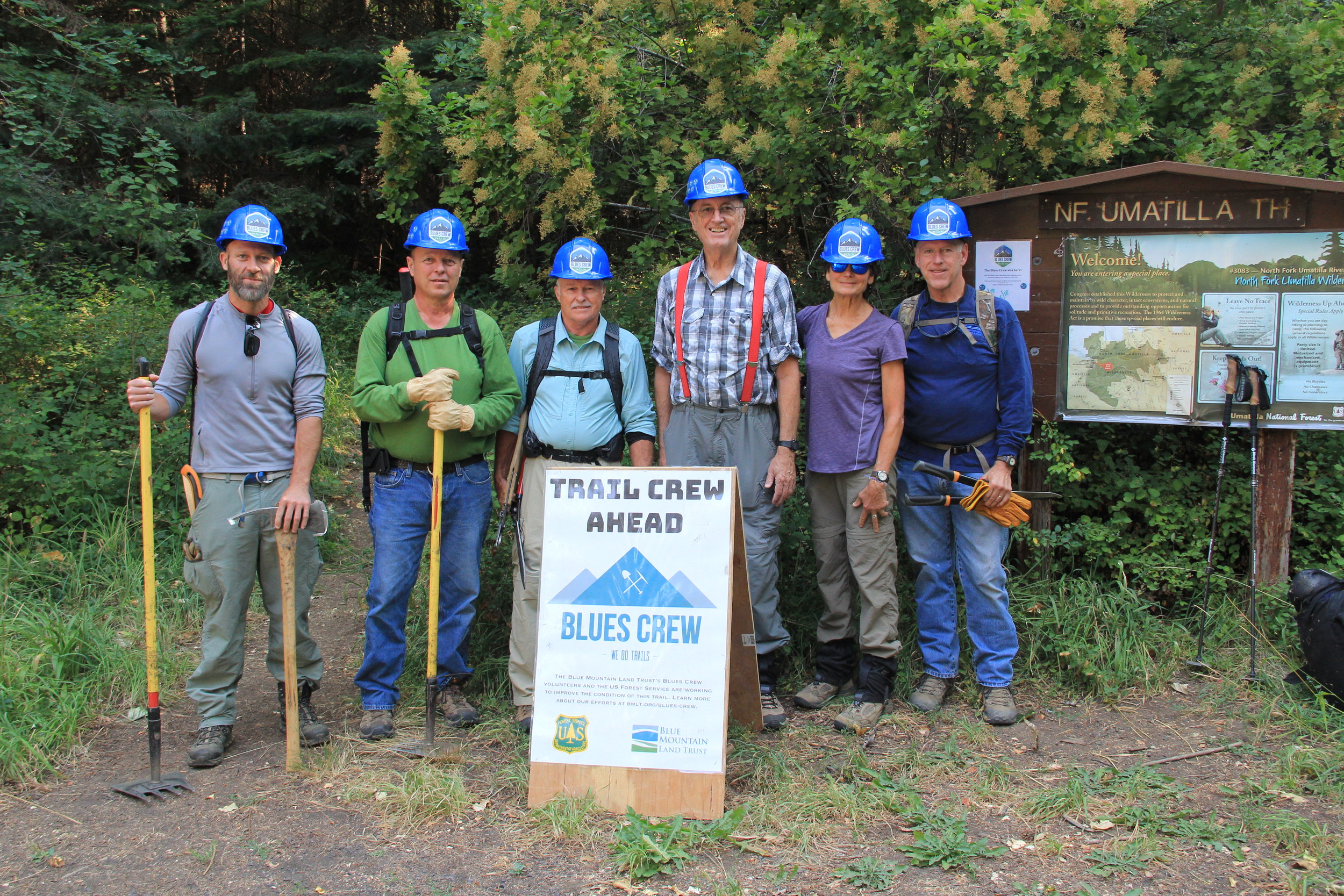
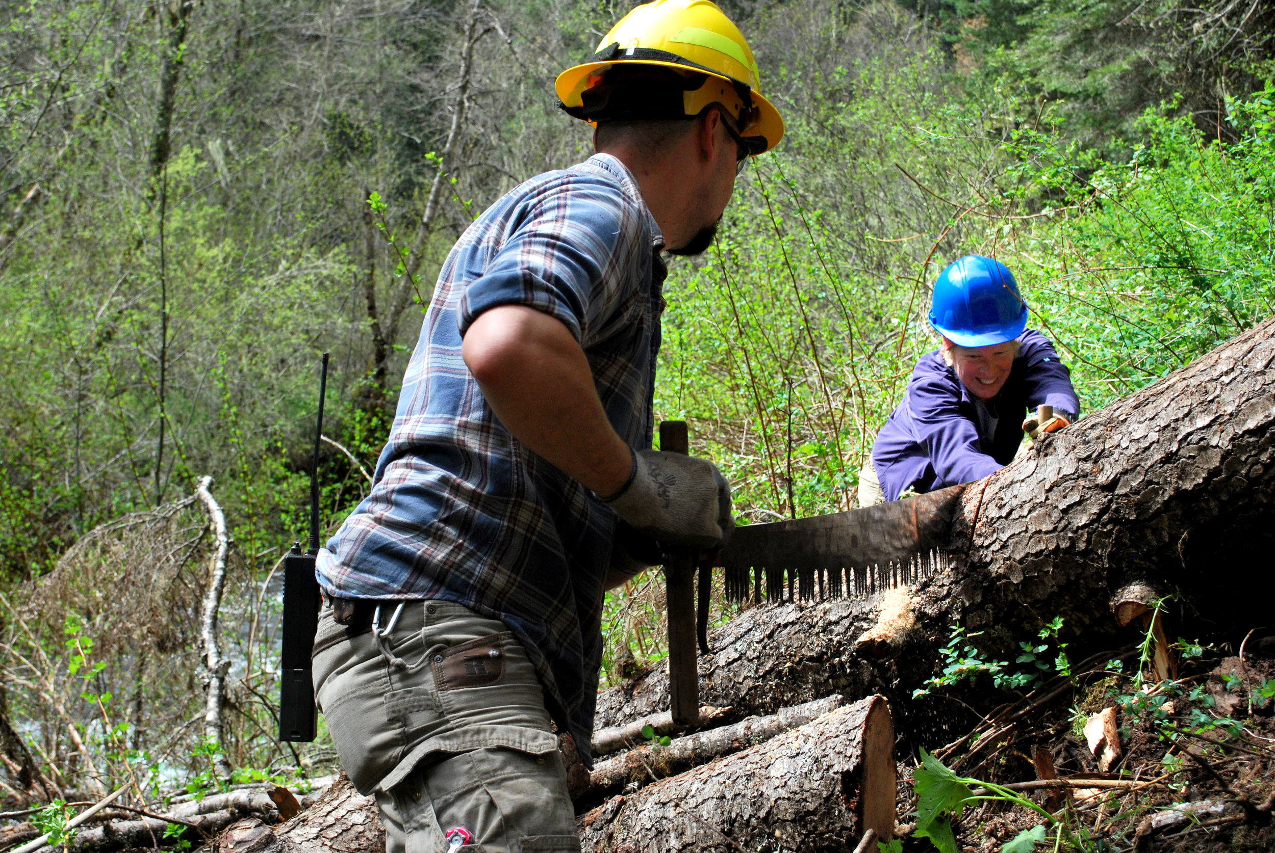
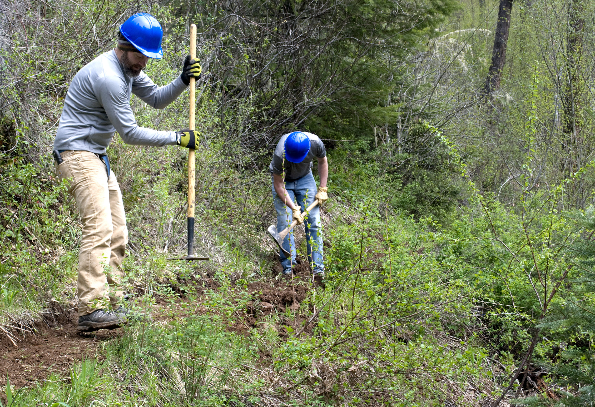
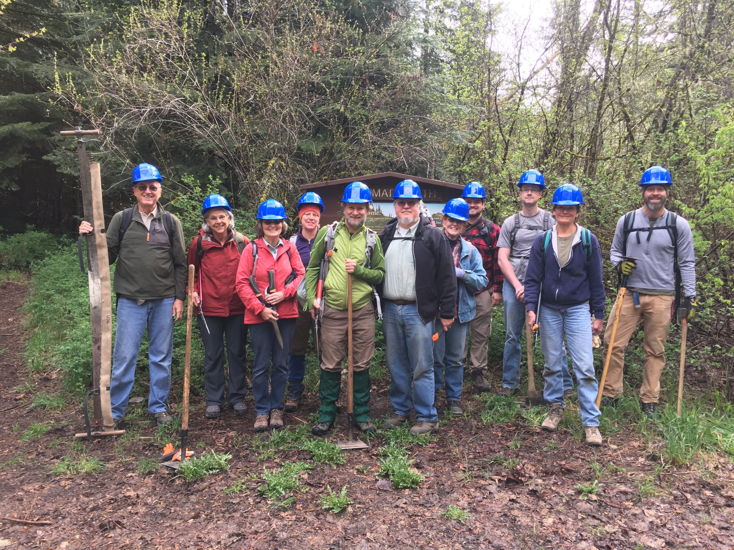
Blues Crew on the Trail
