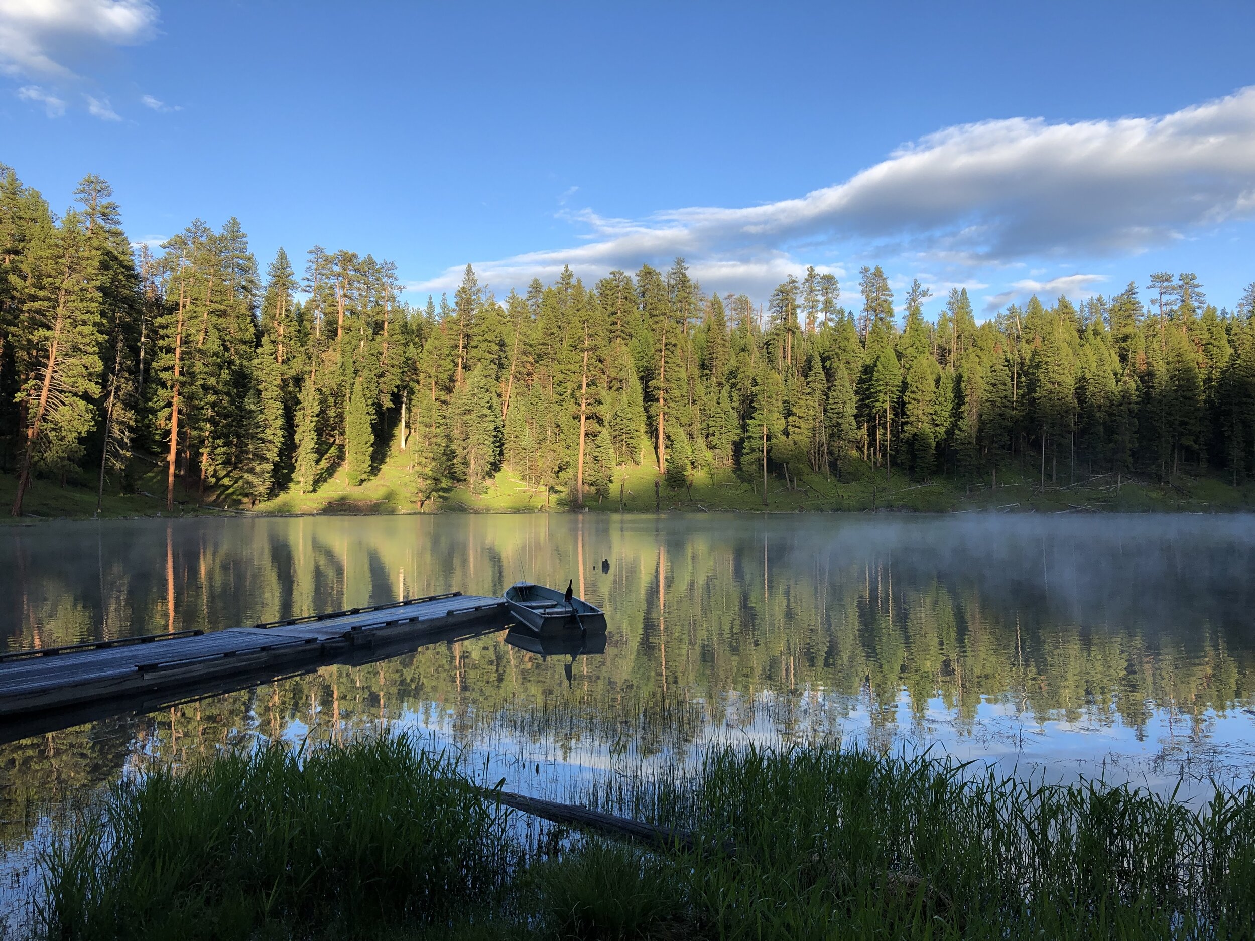

Magone Lake
Magone Lake Trail is a well graveled 1-mile long walking and biking trail that follows along the edge of the lake. The trail makes a complete loop around the lake and has no steep pitches. The total elevation range varies less than 25 feet. The trail is barrier-free, but unsurfaced. There is also a campground nearby.
For more information about this trail visit Malheur National Forest’s website here.
FEATURES
Birding · Wildlife · Swimming · Fishing · Mountain Biking · Hiking
Directions
From the town of Prairie City, OR., travel west 3 miles to the junction of County Road 18, turn north on County road 18, follow County Road 18 approximately 13 miles to the junction with Forest Road 3620. Follow Forest Road 3620 approximately 2 miles to the junction with Forest Road 3618. Turn west onto Forest Road 3618 and travel approximately 1 miles to the Magone Lake Day Use Area.
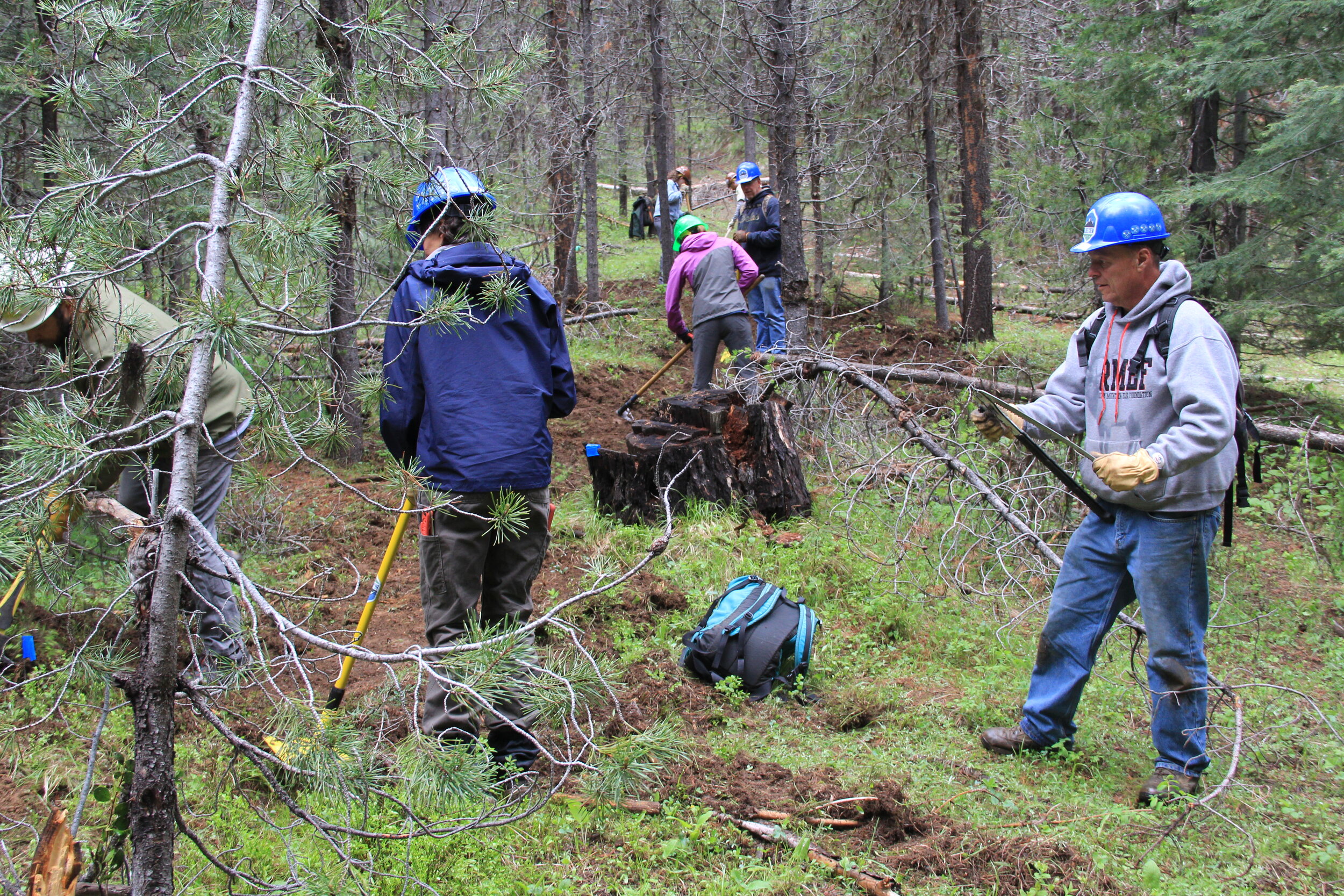
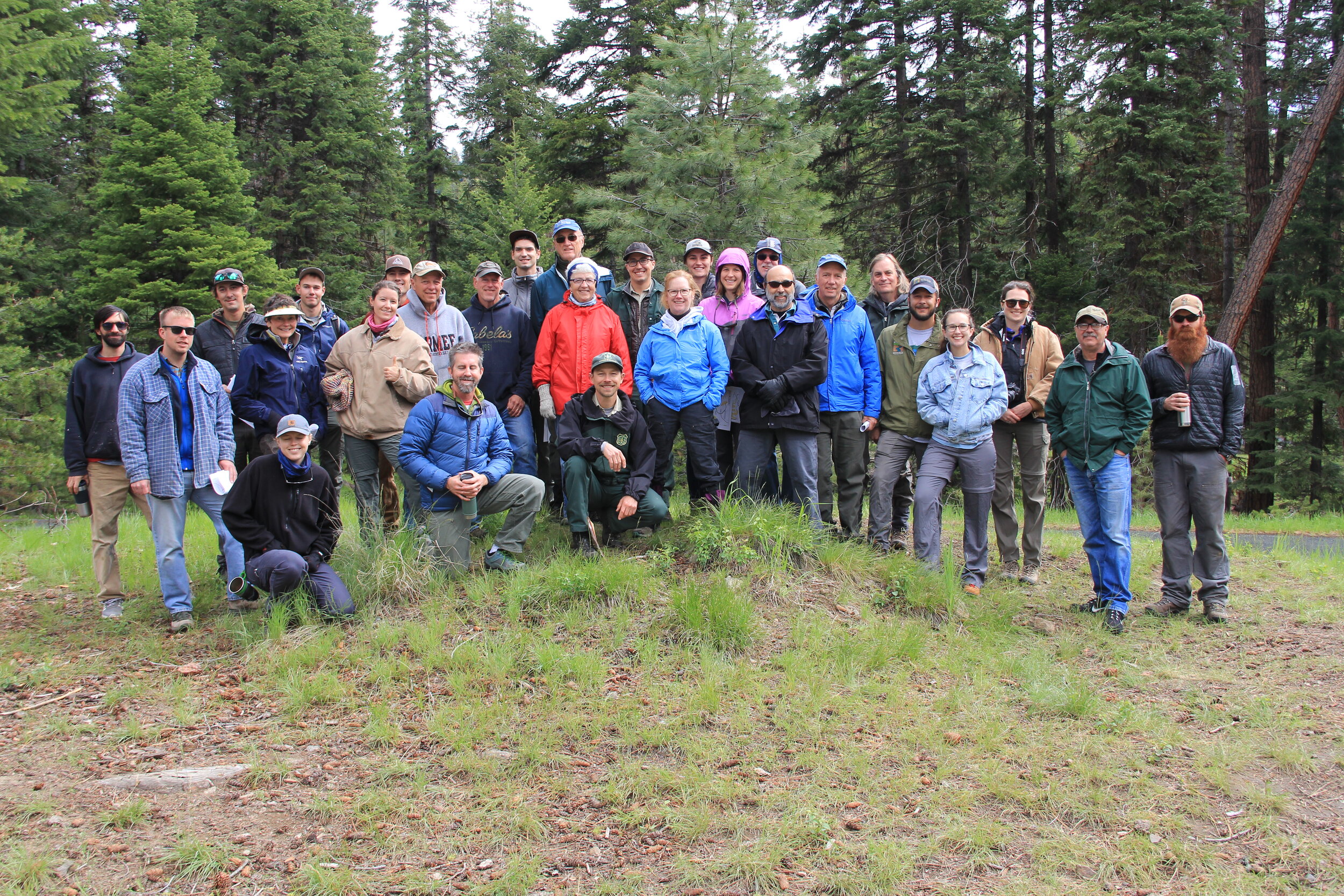
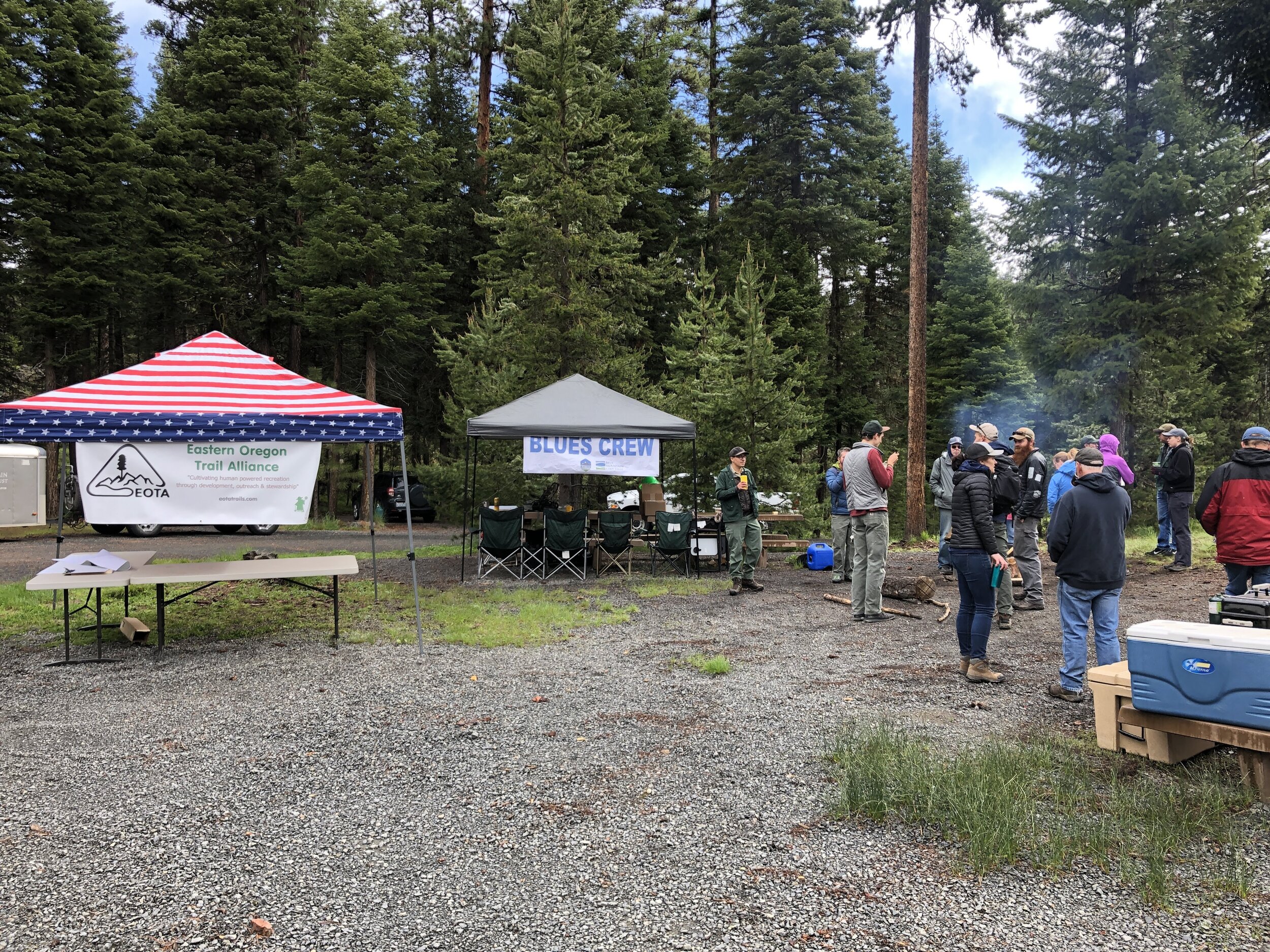
Blues Crew on the Trail